Description
PROFESSIONAL IMAGING SENSORS
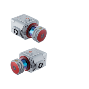
AA2400 can control up to four external cameras
Up to four cameras in nadir or nadir and oblique view with a high resolution of 100-150 MP, such as a PhaseOne camera, can be added to the AA2400. By obtaining high resolution geo-referenced and/or oblique imagery, more applications can be supported increasing the return on investment for the client.
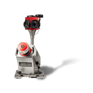
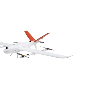
The AlphaAir 2400 is an airborne laser scanner offering an impressive combination of low weight, extended range, high accuracy, and scanning speed for missions at up to 1400 m operating flight altitude. The AA2400 can be easily installed on helicopters, airplanes, and various UAVs, such as CHCNAV’s BB4.
The AA2400 system integrates a Riegl’s VUX- 240 laser scanner with a unique forward and backward-looking FOV designed to minimize laser shadowing and provide geometry of complex vertical structures in a single pass. In addition, the VUX-240 airborne laser scanner features a wide 75-degree field of view, a high-speed data acquisition rate of up to 1.8 MHz, and a scanning range of up to 2150 meters.
The industrial-grade CHCNAV’s GNSS and high-precision IMU allow the AlphaAir 2400 to provide up to 2 cm accuracy, depending on the scanning range.
DOWNLOAD DATA SHEET