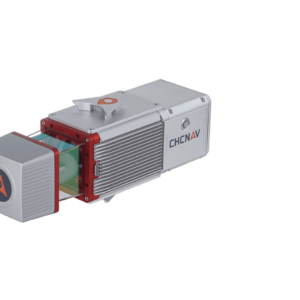
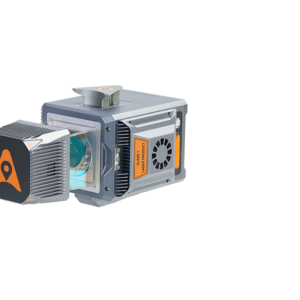
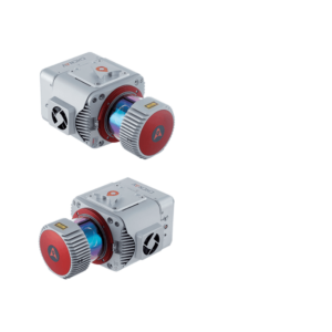
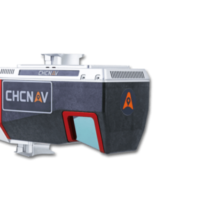
Description
EXTREME LIDAR DATA QUALITY
Advanced calibration and optimization technology
For experts searching to optimize their data quality further, CoPre features an advanced processing mode. It handles the layering problems of multiple point clouds and improves relative accuracy through an efficient strip adjustment algorithm. Additional use of ground control points (GCP) is available to improve the absolute accuracy of the point cloud. The advanced calibration and optimization technology results in a point cloud thickness that is 30% less than similar products provided on the market.
COMPREHENSIVE PRE-PROCESSING WORKFLOW
Process trajectory files, LiDAR data and RGB images.
All LiDAR data processing starts with the first and foremost step of trajectory generation. CoPre is powered by the accurate and efficient algorithm developed by CHCNAV to process captured raw data, including trajectory (POS) files, LiDAR data, and RGB images. Multiple data sets can be processed simultaneously to increase workflow efficiency, solving the problem for SLAM-based units of updating a map of an unknown environment while simultaneously keeping track of the location within it.
ADVANCED RECONSTRUCTION MODULE
DOM generation and modeling
Users can take full advantage of CHCNAV LiDAR airborne data capture thanks to the CoPre reconstruction module, which supports the aerial triangulation process and allows the final digital orthophoto and 3D mesh module output to be exported without the need for additional software. The DOM generation and modeling algorithm in CoPre also enables the combination of photos and point clouds captured simultaneously by CHCNAV LiDARs to rapidly export a high-quality orthophoto or 3D model for in-field verification.
CoPre is a powerful software ecosystem developed by CHCNAV that enables users to process mobile geospatial mapping data quickly and efficiently.
CoPre features accurate trajectory processing by a proprietary algorithm, point cloud and image georeferencing, point cloud colorization, filtering, and additional useful functions such as digital ortho model (DOM) generation, significantly improving postprocessing accuracy.
CoPre is built around a simple and intuitive user interface. Geospatial professionals can export point clouds and image files without opening third-party software for the positioning and orientation system (POS) computations. It enables the analysis of complex information structures with absolute precision and empowers the world of 3D data processing. CoPre software is the backbone of CHCNAV’s LiDARs system series, and it’s regularly updated with new features, functionality, and tools.
")