UNLOCKING WATERWAY POTENTIAL: LEVERAGING TECHNOLOGY FOR ENHANCED MANAGEMENT
The digitization of inland waterways brings forth a host of benefits by leveraging technology and data to optimize the management, safety, and sustainability of crucial navigation infrastructure. Precise data on waterway conditions enhances the monitoring of infrastructure structures, such as locks, dams, and bridges. By identifying potential issues early, digitization enables timely maintenance, ensuring the reliability and safety of waterways for transporting goods, passengers, and essential resources.
This article describes the real-world application of the AlphaAir 10 LiDAR+RGB system mounted on a DJI drone for a 3D digitization project focusing on the Yangtze River waterways.
DIGITALIZATION OF THE YANGTZE RIVER’S WATERWAYS: A NEW FRONTIER IN SURVEYING
This project takes on the daunting task of digitally mapping the intricate waterways of the Yangtze River. As the longest river in Eurasia and the third longest in the world, the Yangtze flows through major Chinese provinces, including Sichuan, Yunnan, Hubei, and Shanghai. The river’s importance is immeasurable as it’s a vital source of millions of people’s water, irrigation, and transportation. Recent years have seen a surge in demand for waterway surveying due to ambitious development projects along the Yangtze and its tributaries.
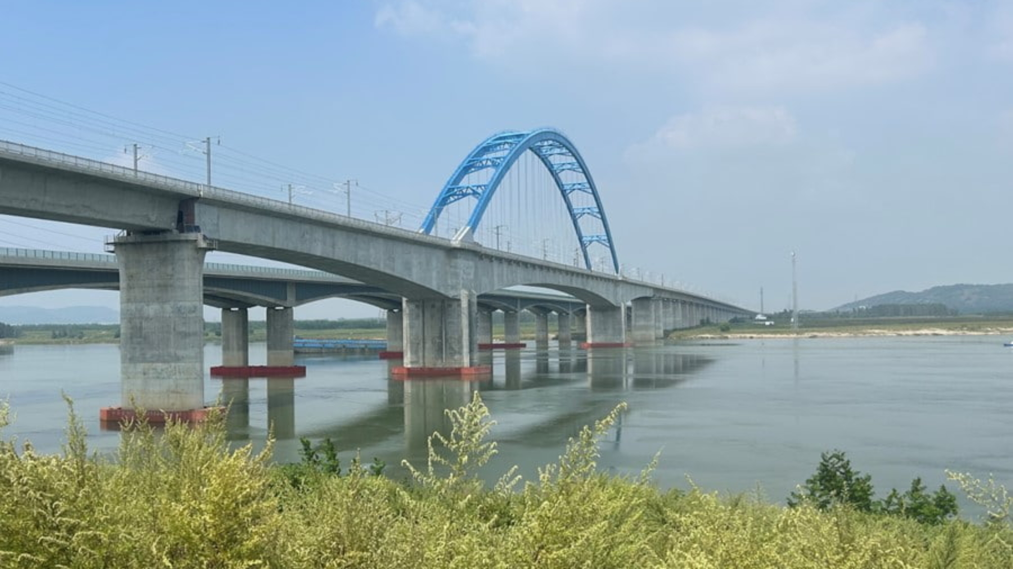
Traditional land-based surveying techniques are struggling to meet the increasing demands for timely and accurate data. The success of digitization initiatives depends on properly allocating resources for data collection and processing. To address this challenge, the local Hydrographic Survey Bureau, in collaboration with CHCNAV’s technical experts, deployed the innovative AlphaAir 10 (AA10) LiDAR system for aerial survey operations around the Hanjiang Bridge section. This avant-garde methodology involved meticulous data collection and processing of terrain, buildings, bridges, and cross-river cables – an effort that is driving the digital transformation of the Yangtze River.
PRECISION MADE SIMPLE: 3D MAPPING WITH UAV + LIDAR TECHNOLOGY
Embarking on a journey of high-precision 3D mapping, our project utilized cutting-edge technology – the DJI M300 UAV paired with the AlphaAir 10 (AA10) LiDAR system. The AA10 flawlessly integrates the high-precision LiDAR, accurate GNSS positioning, IMU orientation, and an industrial-grade full-frame orthophoto camera; this dynamic combination delivers not only highly precise laser point clouds but also high-resolution digital imagery, laying the foundation for unparalleled data accuracy.